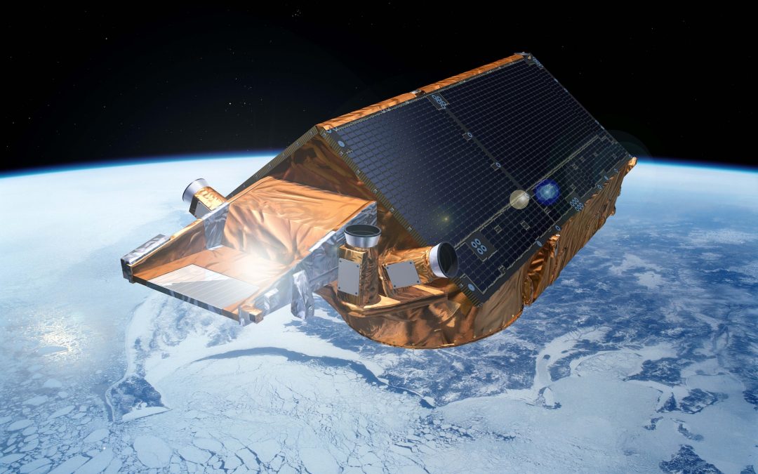
Apr 5, 2022 | Scaled Models
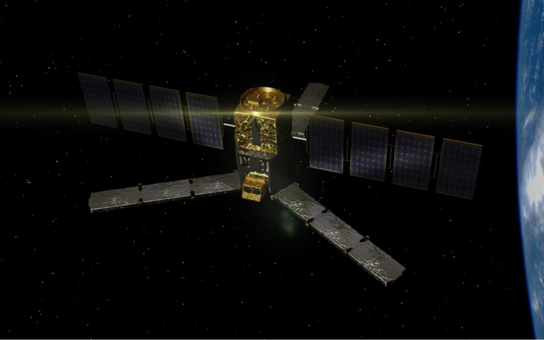
We design and build an ultra-realistic scaled model of the ESA Earth-observation mission CryoSat. ESA (the European Space Agency) is one of the biggest space agencies in the world and, besides hosting lots of space exploration missions throughout the Solar System, it...
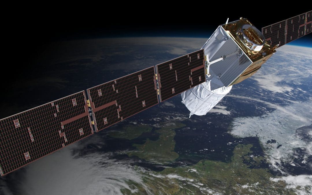
Dec 22, 2021 | Scaled Models
We start up our brand new 3D facilities to produce a super-detailed Aeolus scaled model! CGI (Computer-Generated Image) of the final 3D model. Aeolus, or, in full, Atmospheric Dynamics Mission-Aeolus (ADM-Aeolus), is a European Space Agency (ESA) Earth observation...

Aug 10, 2017 | Multimedia Creation
If these images already look great, try to imagine them in a 360º Spherical Planetary Projector! We have recently designed a software and interface for this special kind of projector and its ready for an educational use as well as to liven up the room. They are...
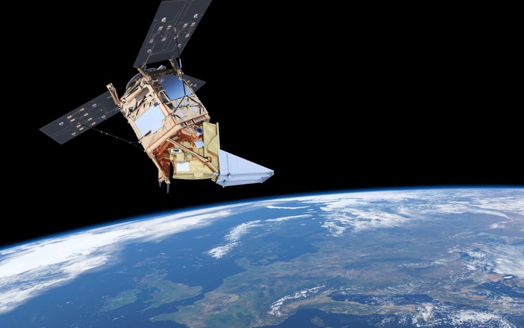
Jun 4, 2017 | Multimedia Creation, Scaled Models
Once again we bring you a new 3D model of a satellite, this time, Sentinel-5P, the latest launch of the Copernicus programme. The Copernicus programme is a joined initiative between the European Space Agency (ESA) and the European Union (EU) that participates through...
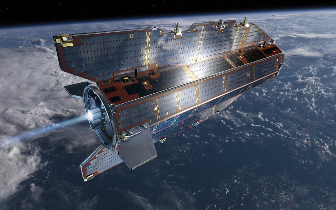
May 15, 2017 | Scaled Models
Today we present our latest 3D scale model: ESA’s spacecraft Goce. This new model is designed from scratch to make it accurate, detailed and suitable for 3D printing. ESA’s Gravity field and steady-state Ocean Circulation Explorer (GOCE) was launched in...
Jul 22, 2010 | Multimedia Creation, Space Industry
Under contract with the SMOS team, we have developed various visualization tools of the SMOS satellite. Most of them are in 3D, some of them are dynamic, others are responsive and a couple of them are public. ESA’s Soil Moisture and Ocean Salinity (SMOS) mission is...
Jun 22, 2010 | Science & Software, Space Industry
We provide an event logger tool for ESAC’s SMOS Satellite DPGS software. ESA’s Soil Moisture and Ocean Salinity (SMOS) mission is dedicated to making global observations of soil moisture over land and salinity over oceans. Although other applications have...
Jun 22, 2010 | Science & Software, Space Industry
We provide the automatic positioning tool which the SMOS team asked for to complete their SMOS FOS software. ESA’s Soil Moisture and Ocean Salinity (SMOS) mission is dedicated to making global observations of soil moisture over land and salinity over oceans. Although...