
Aug 10, 2017 | Multimedia Creation
If these images already look great, try to imagine them in a 360º Spherical Planetary Projector! We have recently designed a software and interface for this special kind of projector and its ready for an educational use as well as to liven up the room. They are...
Apr 14, 2017 | Augmented Reality
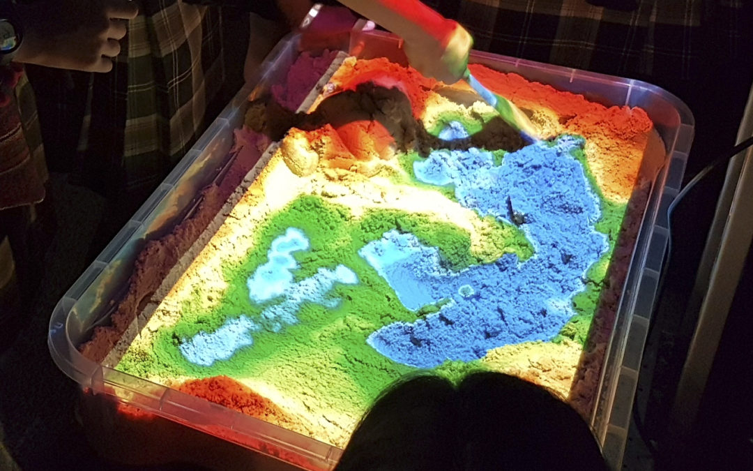
Studying topography with messy maps is now a thing of the past. Our amusing colour-changing interactive augmented reality sandbox is a new great way to explain topography to children. Augmented Reality (AR) is a set of new technologies that combine the real world with...
Apr 4, 2017 | Science & Software, Space Education
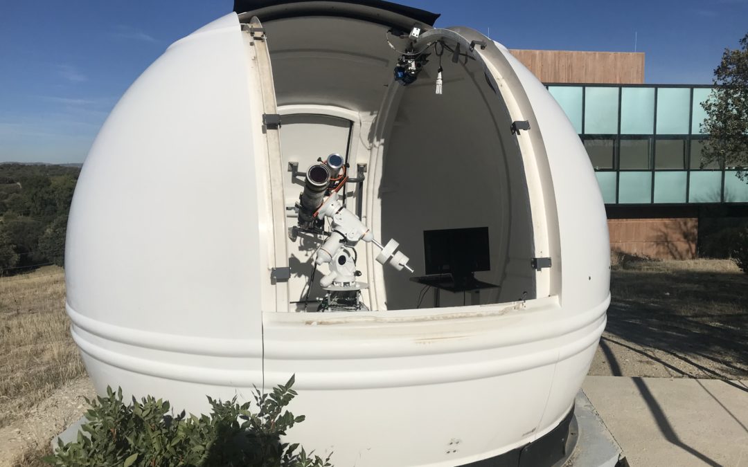
We are happy to announce that the upgrading of CESAR’s Solar Observatory conducted by Space Robotics has concluded successfully. The telescopes are already back to work, the new devices perform just as expected, and the observatory is now robotized and can be...
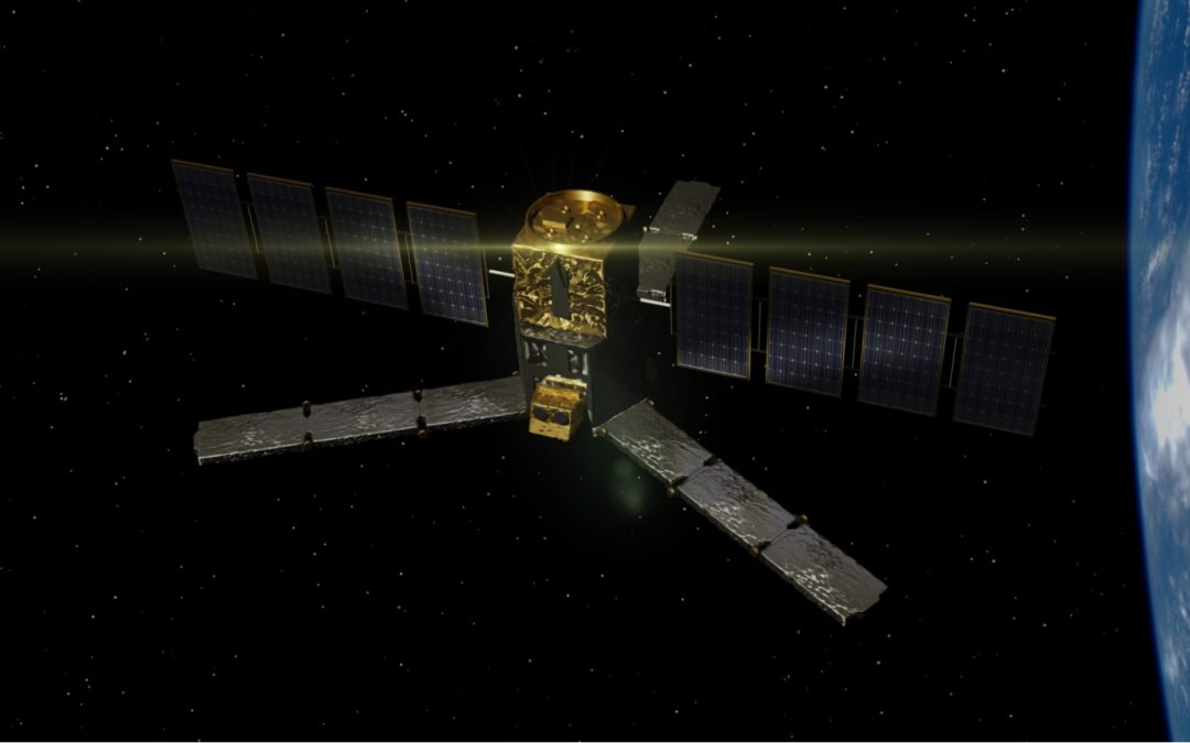
Mar 20, 2017 | Space Education
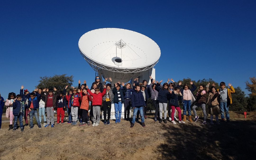
We won the contest organized by the educational division of ESA (the European Space Agency). Our prize: we get to work in the CESAR project, design and lead the Space Science Experiences, create new space technology for educational purposes and organize school visits...
Apr 12, 2012 | Multimedia Creation
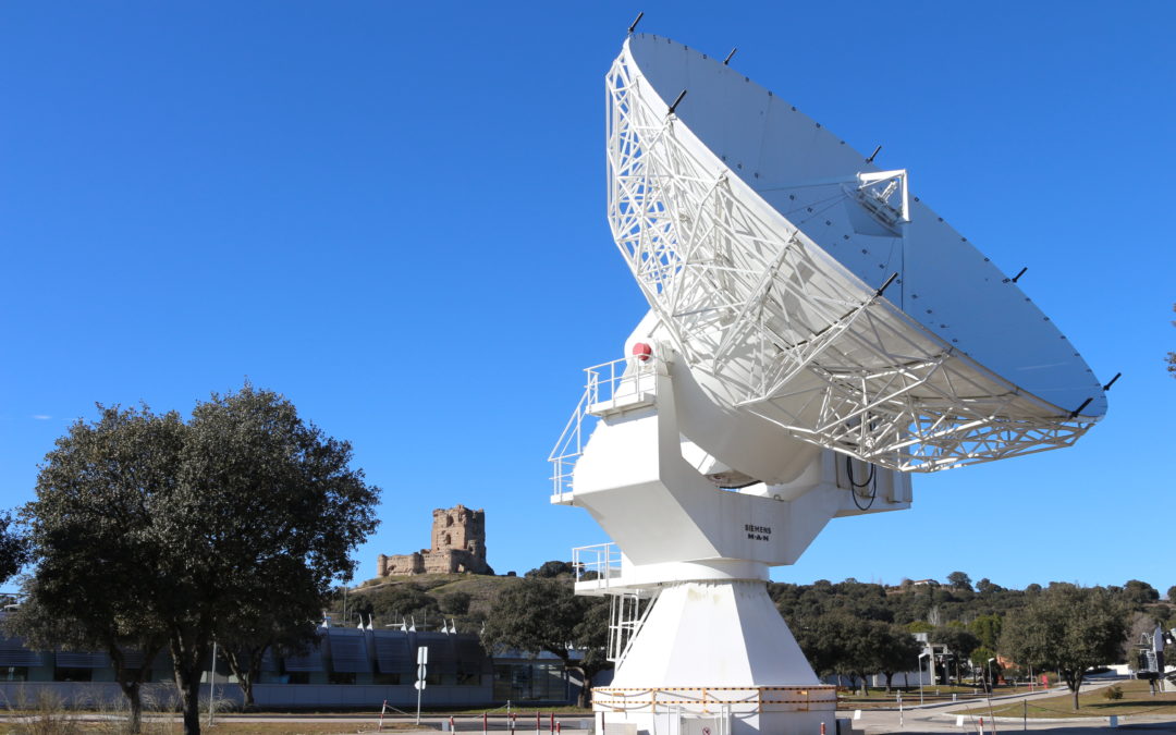
Our multimedia team has created a 3D model of ESAC’s VIL-1 Antenna to use it in videos and other multimedia material with publicity, educational and science dissemination purposes. ESA’s Villafranca Satellite Tracking Station, widely known as VILSPA, was a...
Jun 22, 2010 | Science & Software, Space Industry
We provide an event logger tool for ESAC’s SMOS Satellite DPGS software. ESA’s Soil Moisture and Ocean Salinity (SMOS) mission is dedicated to making global observations of soil moisture over land and salinity over oceans. Although other applications have...
Jun 22, 2010 | Science & Software, Space Industry
We provide the automatic positioning tool which the SMOS team asked for to complete their SMOS FOS software. ESA’s Soil Moisture and Ocean Salinity (SMOS) mission is dedicated to making global observations of soil moisture over land and salinity over oceans. Although...